
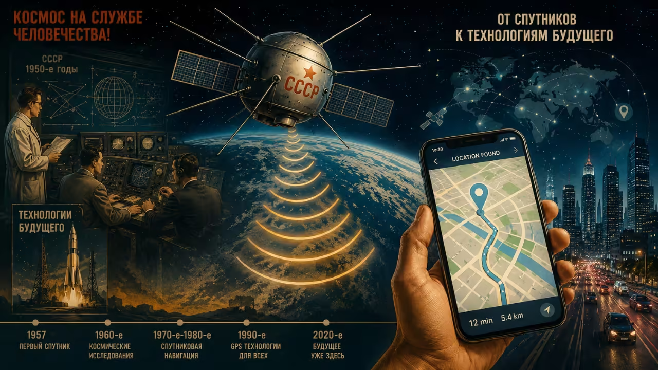
The secret Cold War project GPS story begins in a place nobody would expect – not a government lab with a clear mission, but a moment of pure curiosity during one of history’s tensest standoffs. Nobody sat down in 1957 with a plan to invent the technology that would one day guide your car through rush-hour traffic or help a delivery driver find your front door in seconds.
The truth behind GPS is stranger than most people realize – it wasn’t built on purpose at all. It was stumbled upon, almost by accident, in the middle of a Cold War panic.
The Launch That Terrified a Nation
When the Soviet Union sent Sputnik into orbit, America didn’t just watch in scientific wonder – it reacted with genuine alarm. A rival superpower had beaten the U.S. into space, and that single fact triggered fears about military and technological vulnerability that rippled through Washington almost overnight.
But while politicians panicked and the space race officially began, something much quieter was happening inside a research lab at Johns Hopkins University. Two physicists weren’t building rockets or writing policy reports. They were simply pointing a radio receiver at the sky, curious to hear what a Soviet satellite actually sounded like.
A Strange Detail Nobody Was Looking For
What William Guier and George Weiffenbach noticed wasn’t dramatic at first glance – just a subtle shift in pitch as Sputnik’s signal passed overhead. The tone climbed slightly as the satellite approached, then dropped as it moved further away.
This wasn’t some new discovery in physics. It was the Doppler effect – the exact same principle behind why a fire truck’s siren sounds different approaching versus driving away from you. But applying it to a satellite hundreds of miles above Earth was something nobody had seriously explored before.
The two scientists didn’t stop at simply noticing the effect. They started measuring it precisely, realizing they could calculate the satellite’s entire orbital path just by tracking how its pitch changed over time – using nothing more than a receiver, a stopwatch, and careful math.
One Sentence That Changed Everything
Here’s where the story takes its most important turn. A colleague at the lab, Frank McClure, heard about their tracking success and asked a question that, in hindsight, seems almost obvious – but at the time, nobody had thought to ask it. If a satellite’s position could be figured out by measuring its signal from a fixed point on Earth, could the entire process work in reverse? Could a fixed satellite’s known location be used to calculate where an unknown receiver was sitting on Earth?
That single flipped question is the actual origin point of GPS. Not a government directive. Not a funded research goal. Just a curious “what if” moment inside a physics lab.
Why the Military Moved Fast
The U.S. Navy didn’t need much convincing once they understood the implications. Submarines at the time faced a serious operational problem: once submerged for extended periods, their onboard navigation systems slowly drifted off course, with no reliable way to correct position without surfacing.
A satellite-based system that could pinpoint exact location anywhere on Earth solved a problem the military had been struggling with for years. Within a short time, the Doppler-tracking concept discovered almost accidentally became the foundation of a new, classified program. This system, known as Transit, launched its first satellite in 1960. For roughly two decades, it remained locked behind military secrecy – a strategic advantage during a period when even small technological edges carried enormous geopolitical weight.
The Flaws That Forced Innovation
Transit worked, but it wasn’t smooth. With only a handful of satellites available, users sometimes waited over an hour for a usable pass overhead. Positioning was limited to two dimensions, and calculations required knowing your rough altitude beforehand – hardly practical for widespread civilian use.
Rather than treating these limitations as dead ends, engineers throughout the 1970s used them as a blueprint for improvement. By combining lessons from Transit with several parallel experimental navigation projects, the modern Global Positioning System gradually took shape – a far more capable, three-dimensional, continuously available successor.
From Military Secret to Pocket-Sized Tool
For years, this technology stayed almost entirely out of civilian hands – expensive, complex, and tightly restricted. That began shifting through the 1980s and 1990s, partly driven by aviation safety concerns after commercial flights occasionally drifted off course without precise tracking capability.
By the early 2000s, accuracy improvements and falling costs quietly transformed GPS from a military asset into an everyday utility – first through dedicated handheld devices, then seamlessly built into the smartphones almost everyone now carries without a second thought.
An Invention That Was Never “Invented”
What makes this story genuinely unusual isn’t the technology itself – it’s the complete absence of intention behind its origin. Guier and Weiffenbach weren’t hired to build a navigation system. They were curious about a rival satellite’s radio signal, working through an interesting physics puzzle mostly because it was interesting.
Yet that small, curiosity-driven project eventually became the invisible infrastructure behind ride-sharing apps, emergency response systems, shipping and aviation logistics, agricultural equipment, and something as simple as finding directions to a coffee shop. None of that existed as a goal in 1957. It existed as a byproduct of paying close attention to something unexpected.
The Bigger Lesson Hiding in This Story
Beyond the technical details, there’s a broader takeaway here about how transformative innovation often actually happens. It rarely follows a straight line from idea to invention. More often, it starts with someone noticing something odd, asking an unusual question, and following that curiosity further than anyone expected it to go.
In the middle of a tense geopolitical rivalry defined by secrecy and competition, one of the most universally useful pieces of modern technology emerged almost as an afterthought – a side effect of trying to understand what a rival nation had just launched into orbit.
Final Thoughts
The next time a map app locates your exact position within seconds, it’s worth remembering that this convenience wasn’t the result of a dedicated mission to build it. It came from two curious scientists, a beeping satellite from a rival superpower, and one flipped question that turned Cold War tension into one of the most quietly essential technologies most people now use daily without ever thinking twice about where it came from.